Ruta del Cares

If you do one hike in northern Spain, do this. Start early; in summer the path is busy and there's no shade.
The classic Picos de Europa hike — 12km along a gorge carved into a cliff path, between Caín and Poncebos. One of the great day walks of Europe.
At a Glance
- — You have vertigo — parts of the path cling to a cliff
Cut into a sheer rock face, the Cares path runs twelve kilometers high above the turquoise river, between the mountain villages of Caín and Poncebos. Towering cliffs cast long, cool shadows across the route, the standard foot crossing between the two valleys. There is no shade on the path, so start early to beat both the midday sun and the summer crowds.
How it got here
The path follows an infrastructure project conceived in the early twentieth century to transport water to a hydroelectric station. Engineers blasted the trail through the limestone walls of the Picos de Europa between 1916 and 1921 to maintain the canal infrastructure. This engineering endeavor transformed the gorge from an inaccessible canyon into a singular transit route for workers and their supplies. Today, the path survives as the primary arterial link between the isolation of the high mountain valleys of Valdeón and Cabrales. The route preserves the austere legacy of industrial development in a landscape otherwise defined by traditional transhumance and pastoral migration patterns that shaped the wider Cantabrian Mountains over several centuries.
Where it sits
The trail traces the Cares River deep within the limestone heart of the Picos de Europa, where vertical cliffs define the horizon. High altitude exposes the path to intense sun and sudden weather shifts, while snow keeps the higher passes dangerous during the winter. The limestone surface reflects heat, making spring and autumn the months that demand the least exertion. The route connects the villages of Caín and Poncebos, though the narrow nature of the gorge prevents any motorized access between them. Visitors arrive through mountain roads that wind through the rugged terrain of the Cordillera Cantábrica, finding a landscape dictated entirely by the river.
What to eat and drink
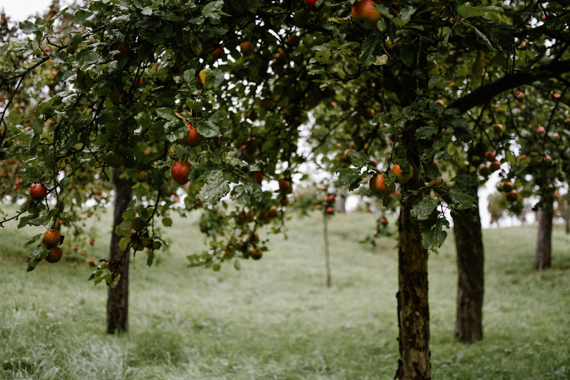
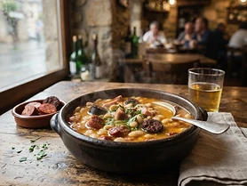
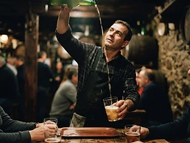
Cabrales is the defining product of these limestone heights, a pungent blue cheese matured in the damp, cool limestone caves of the surrounding slopes. It pairs best with sidra, the dry, fermented apple cider poured from a height into the glass to release its sharp fragrance. For a substantive meal, order fabada asturiana, a slow-cooked stew of large white beans, morcilla sausage, and cured pork shoulder. The kitchens here prioritize the produce of the mountain pastures, relying on the quality of local dairy and the preservation techniques that have historically sustained life in the isolated valleys of the Picos de Europa.
Asturias: the whole region
Asturias fits a whole coast, a mountain range and a serious kitchen into a province you can cross in two hours. Cider poured from a height, blue cheese, working fishing ports, and the Picos de Europa standing over all of it. It rains often…
Minimum 4 days · better 7 days · deep 10-12 days

In Asturias




In Asturias


In Asturias
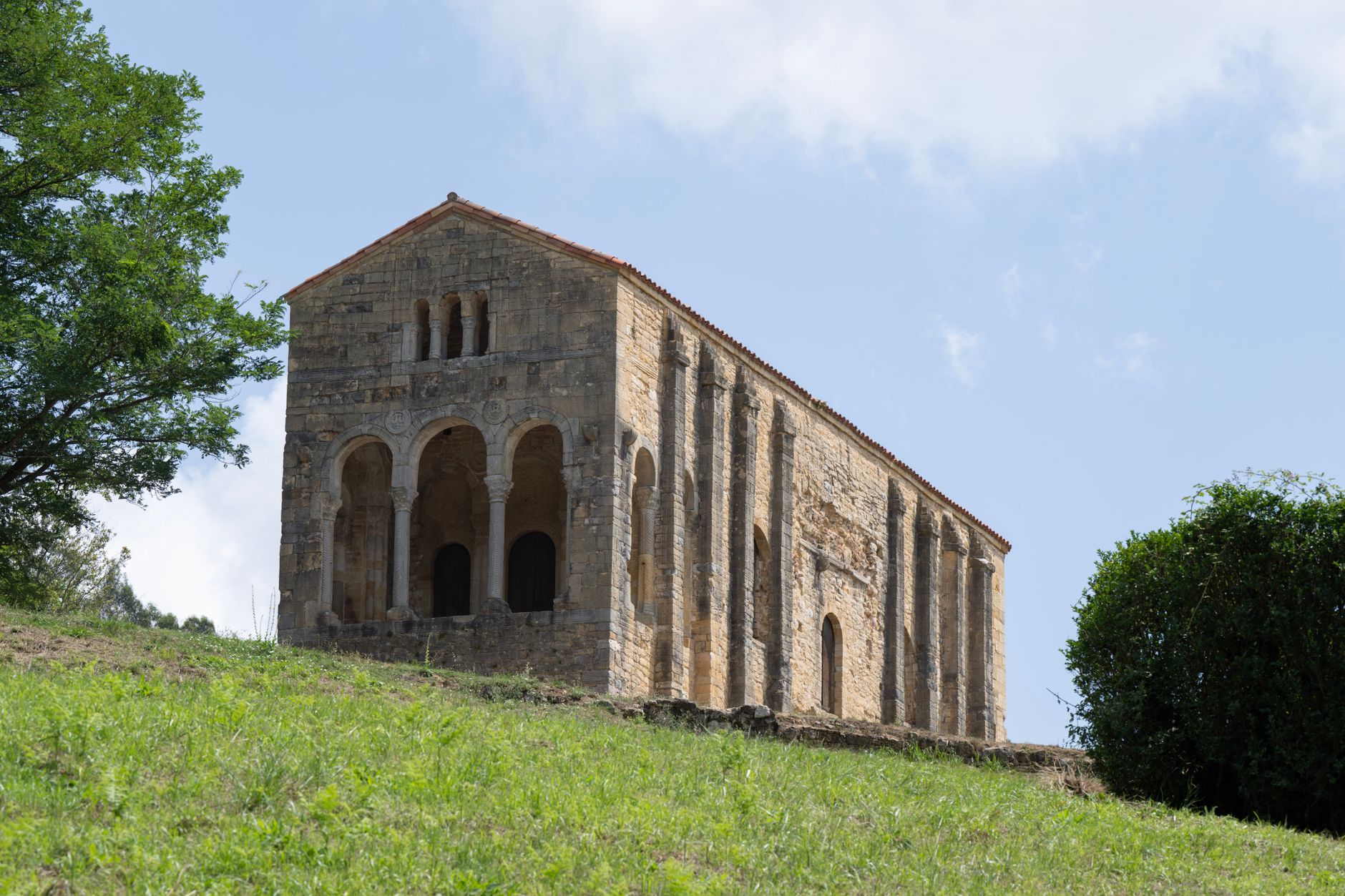


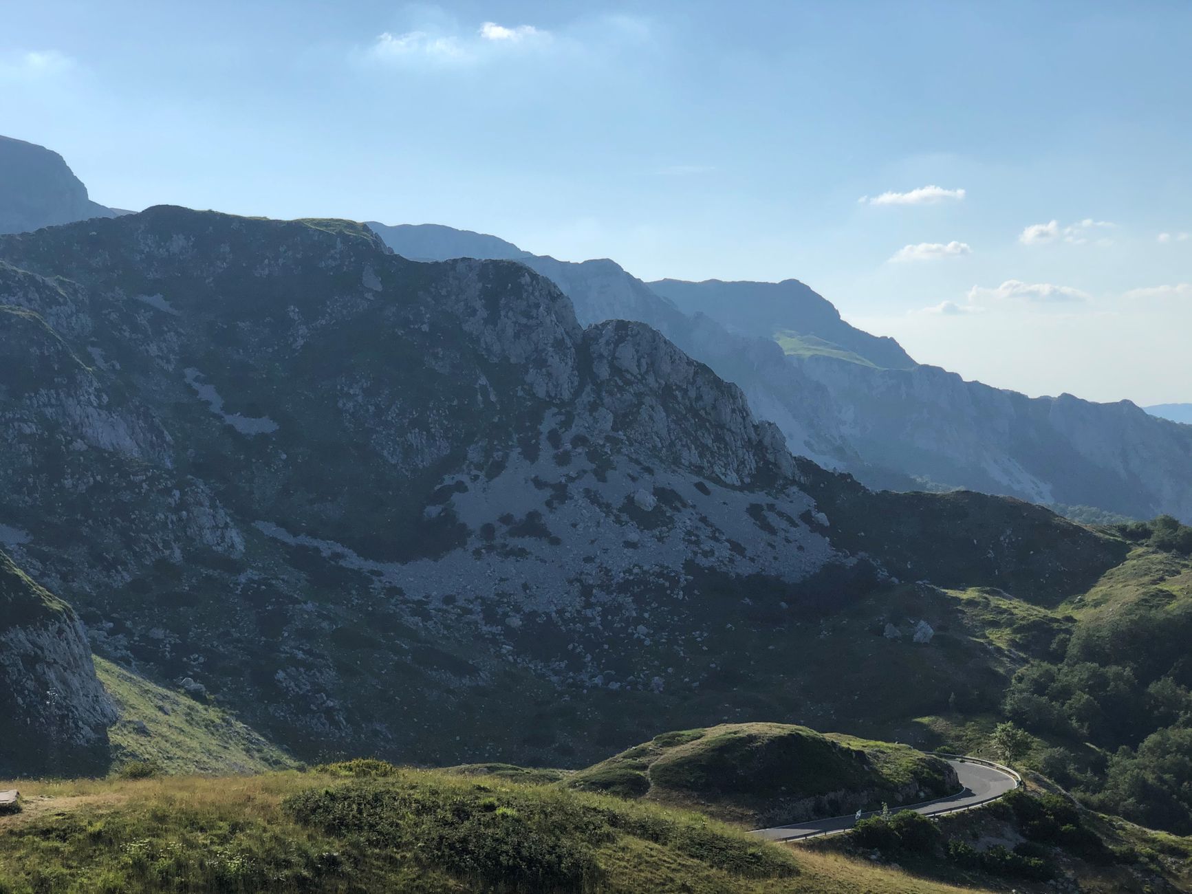
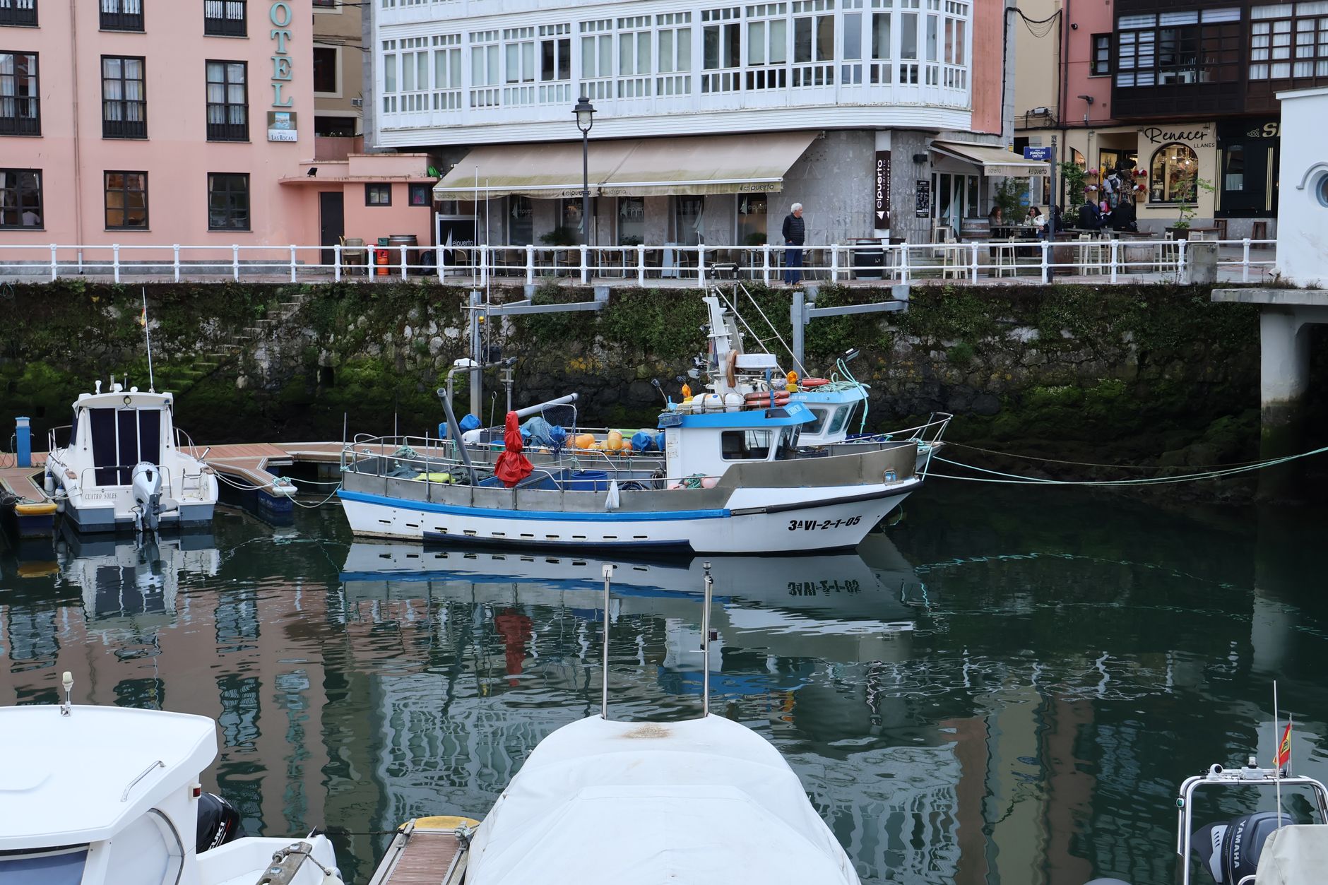


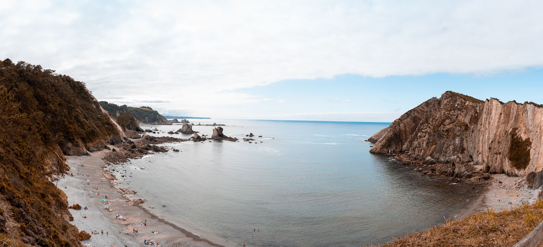

Logistics are verified only. We don't publish schedules we haven't confirmed.
Appears In
Ready to build Ruta del Cares into a trip?
You've found a place worth going. When you're ready to turn discovery into an itinerary, Travel Itinerary Co picks up where the Field Guide leaves off — with your saved places already in hand.
Build this into a tripContinues on Travel Itinerary Co
Spain Field Guide may earn a commission when you book through selected links. Recommendations are editorial and independent of commission.