Anaga Rural Park

The hike that surprises everyone who thinks Tenerife is just beaches. Do the Cruz del Carmen to Punta del Hidalgo trail. Bring a layer — it's cool and misty.
A primordial laurel forest on Tenerife's northeastern tip — misty ridgelines, deep ravines, and trails through a forest that's barely changed since the Tertiary.
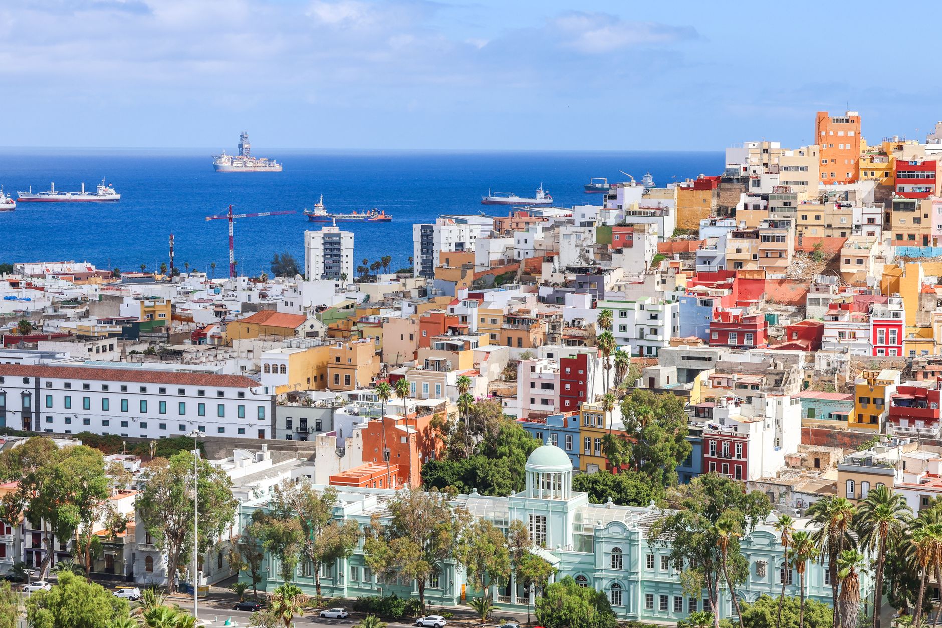
Las Palmas de Gran Canaria · Teide National Park · San Cristóbal de La Laguna
At a Glance
- — You don't hike
Mist clings to the twisted, moss-draped branches of ancient laurel trees, creating a prehistoric atmosphere where sunlight barely touches the dark, damp floor of the forest. These ravines and ridgelines on the edge of Tenerife feel untouched by the frantic pace of the modern island, preserving a rare ecosystem that has survived since the Tertiary period. Walking the narrow, winding trails reveals sudden, dramatic drops into deep canyons and panoramic views of the Atlantic, all veiled in a shifting, ethereal fog that seems to hold the island's secrets.
How it got here
These volcanic massifs rose from the Atlantic floor millions of years ago, forming the oldest part of Tenerife. The Guanches, the original Berber inhabitants of the island, utilized the rugged crags and deep ravines for refuge and sustenance long before the Castilian conquest of the fifteenth century. Traditional agricultural practices like terrace farming and dry-stone walling on the precarious slopes tell the story of a population that adapted to isolation. The park protects these remnants of human labor alongside a unique flora that vanished from the European continent during the last ice age, preserving a landscape that functioned as a biological sanctuary for millennia.
Where it sits
Deep, narrow gullies cut through basaltic ridges that climb from the northern coast into high, cloud-drenched forests. Humidity from the trade winds creates a dense laurel canopy that shades the ground throughout the year. The terrain demands stamina from anyone traversing the winding trails that connect the scattered hamlets of the Macizo de Anaga. Beyond the forest edge, the land shifts into arid scrubland where the sun burns the slopes, providing a stark contrast to the verdant interiors. Access requires navigating twisting mountain roads that climb away from the busy port city of Santa Cruz.
What to eat and drink
Potaje de berros, a dense stew made from watercress, potatoes, and salted pork, provides the heavy sustenance required by mountain farmers. Gofio, a toasted flour ground from corn or wheat, appears in nearly every meal, mixed into broths or kneaded into a dough. Fresh fish from the northern coastal villages comes fried or grilled, served with salty wrinkled potatoes known as papas arrugadas. Local white wines from the volcanic soils of the islands possess a sharp, mineral edge that cuts through the fat of the heavy stews served in the higher altitudes of the park.
Canary Islands: the whole region
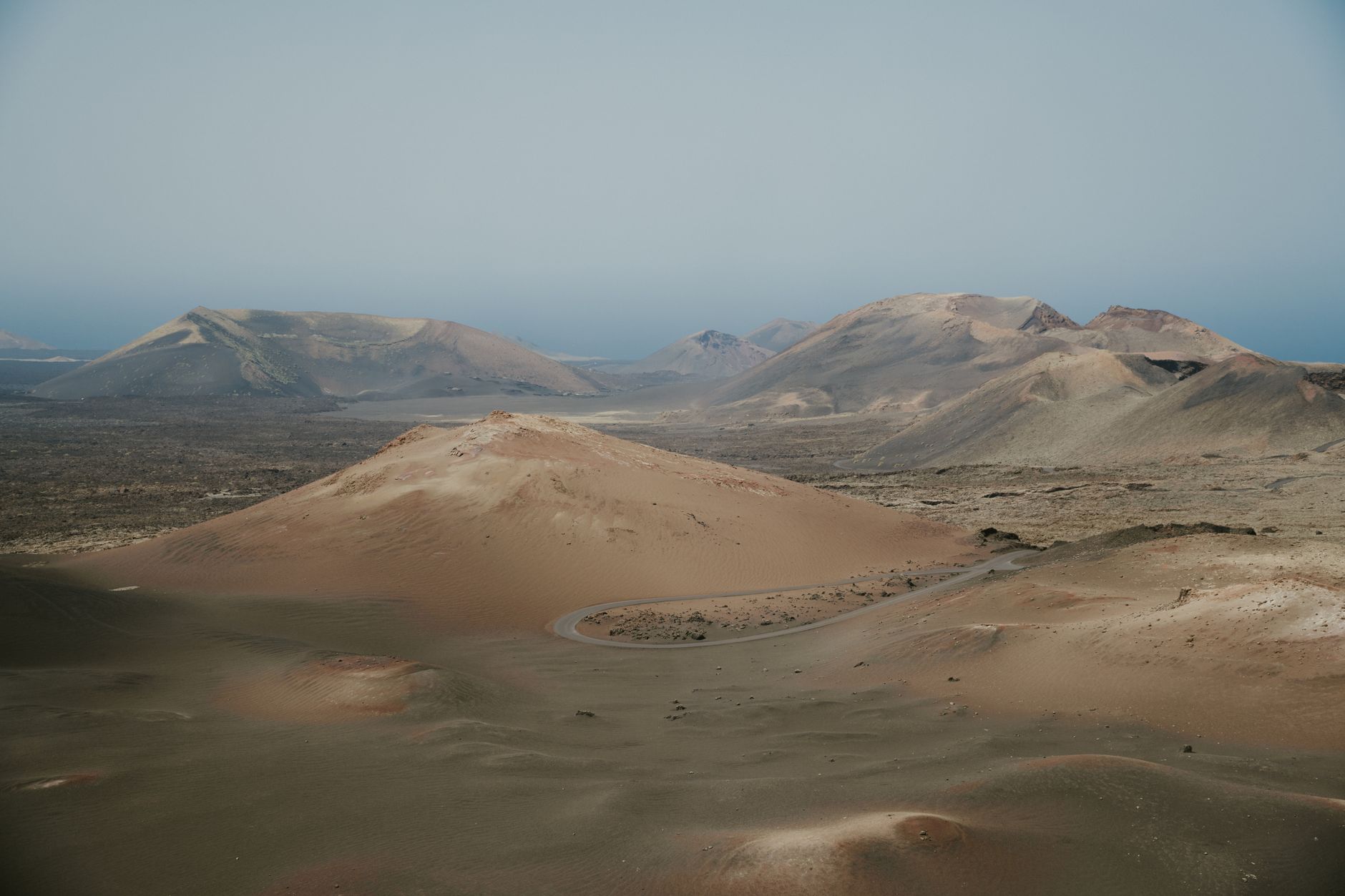
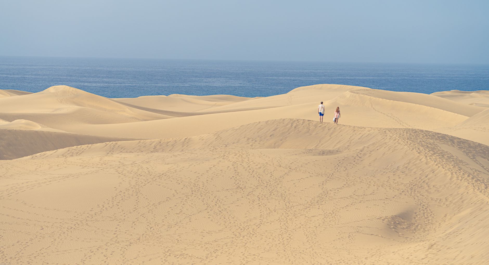
Eight islands, four of them worth a trip and each one a different landscape: Tenerife with the highest mountain in Spain, Gran Canaria with its green interior and dunes, Lanzarote with lava fields and a landscape designed around them, and…
Minimum 7 days · better 10-12 days · deep 2 weeks

Pair It With

In Canary Islands


In Canary Islands




Linked from elsewhere
Entries that name this place in their own nearby lists.
Logistics are verified only. We don't publish schedules we haven't confirmed.
Appears In
Experiences worth booking ahead
Spain Field Guide may earn a commission when you book through selected links. Recommendations are editorial and independent of commission.
Ready to build Anaga Rural Park into a trip?
You've found a place worth going. When you're ready to turn discovery into an itinerary, Travel Itinerary Co picks up where the Field Guide leaves off — with your saved places already in hand.
Build this into a tripContinues on Travel Itinerary Co
Spain Field Guide may earn a commission when you book through selected links. Recommendations are editorial and independent of commission.