Flysch de Zumaia

Recommended for the walk rather than the viewpoint: most people photograph the cliffs from the beach and miss the path above them.
A clifftop path over sixty million years of vertically stacked rock, with no development in sight.
At a Glance
- — You want beaches with facilities and shade
Between Zumaia and Deba the coast exposes the flysch: layers of limestone and marl laid down between sixty and a hundred million years ago and then tilted almost upright, so the cliffs at Itzurun and Algorri show the sequence edge-on. It is among the best places in the world to read geological time from a cliff face, and one of the layers here marks the boundary of the last great extinction. For anyone who is not a geologist the point is simpler: a clifftop path above green water, with San Telmo hermitage at one end and Deba at the other, and nothing built in between. The full walk takes about four hours one way; the first hour out of Zumaia is the best of it.
How it got here
These limestone layers trace the Cretaceous and Paleogene periods, forming a record of the K-Pg extinction event that ended the age of the dinosaurs. The coast served as a maritime boundary for the Gipuzkoa province, where the Basque people managed seafaring and agricultural traditions for centuries. Near the cliffs, the hermitage of San Telmo marks the spiritual life of the coastal community, its sailors long relying on local navigation knowledge. The geology itself dictated the trade and settlement patterns of this rugged shoreline, as the lack of natural harbors between the town centers prevented industrial expansion, preserving the coastline as it stood during the medieval era.
Where it sits
The path follows a dramatic section of the Bay of Biscay, where the Cantabrian Sea carves into the flysch cliffs. Green pastures and oak forests meet the sharp, tilted stone of the littoral zone. Summer heat remains tempered by Atlantic winds, while winter brings rain and heavy surf against the shore. The trail stays clear of modern development, providing an unobstructed view of the rhythmic, vertical strata. Most visitors congregate near the town access points, yet the stretch between Zumaia and Deba requires a steady pace over uneven ground that shifts with the coastal weather and tides.
What to eat and drink
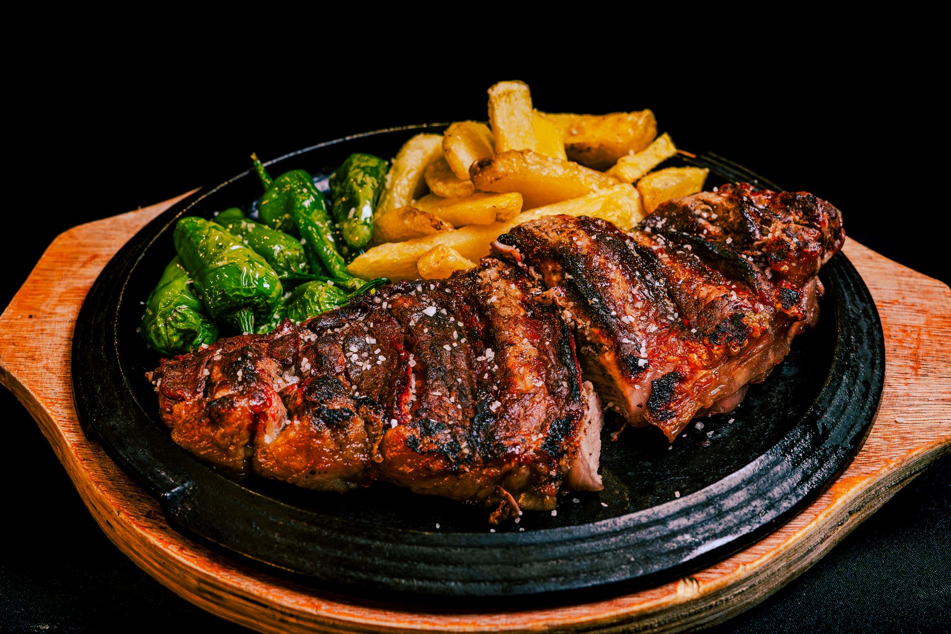
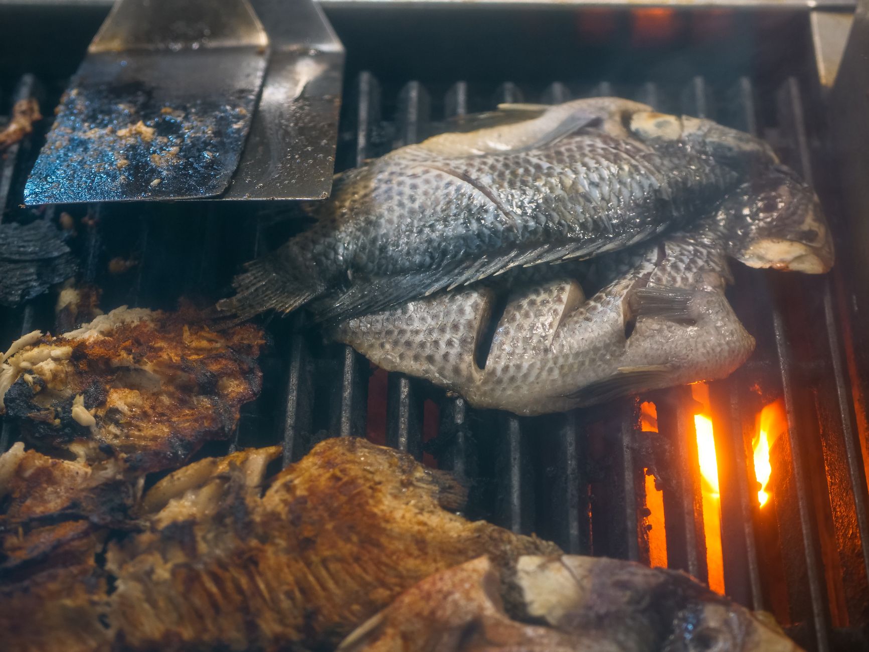
The cuisine centers on the harvest of the Cantabrian Sea and the green hills of Gipuzkoa. Bacalao al pil-pil, salt cod emulsified in an olive oil and garlic sauce, remains the standard for coastal cooking. Fresh catch such as merluza, hake, arrives daily at the ports. The province produces txakoli, a crisp, dry white wine with low alcohol content and a slight effervescence. Idiazábal, a smoked sheep cheese made from Latxa or Carranzana milk, pairs with the tart wine. Cider houses, sagardotegiak, provide a communal setting to drink local fermented apple juice directly from large wooden barrels.
Basque Country: the whole region
The Basque Country is the most expensive and the most rewarding corner of northern Spain: three small provinces, each with its own character, all within an hour of each other. It suits travellers who want to eat well and move slowly far…
Minimum 4 days · better 7 days · deep 2 weeks
What's Nearby

In Basque Country









In Basque Country


In Basque Country












Linked from elsewhere
Entries that name this place in their own nearby lists.

Logistics are verified only. We don't publish schedules we haven't confirmed.
Ready to build Flysch de Zumaia into a trip?
You've found a place worth going. When you're ready to turn discovery into an itinerary, Travel Itinerary Co picks up where the Field Guide leaves off — with your saved places already in hand.
Build this into a tripContinues on Travel Itinerary Co
Spain Field Guide may earn a commission when you book through selected links. Recommendations are editorial and independent of commission.